Bocas del Toro, Panama
Bocas del Toro Island Explorer
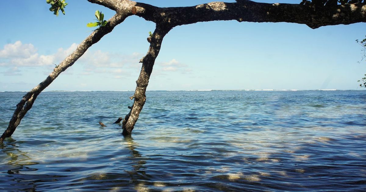
Palm shade, short ferry hops and lanes that end at the water every time.
Why this monthWarm, green and rainy; short island days and boats that keep going whatever the sky is doing.
Full route, maps & GPX on BicycleMovementOpens the official page in a new tab. Nothing is sold here — how the link works.
- Distance
- 185 km
- Duration
- 5 days
- Ascent
- 1,100 m
- Country
- Panama
The seasonWarm, green and rainy; short island days and boats that keep going whatever the sky is doing. How we read the weather window · the September edition.
The Soul Score is BicycleMovement's official figure for this route, shown here exactly as published on Bocas del Toro Island Explorer route page.
Best time to cycle Bocas del Toro Island Explorer
- Best months
- August – October
- Difficulty
- Gentle
The Caribbean side of Panama runs on its own calendar, and its calmest, driest weeks fall while the rest of the country is deep in the green season. That is exactly why the islands ride so well now: flat water for the ferries, soft light, warm showers that pass in minutes, and lanes that are quiet because nobody thinks of coming.
We would avoid November, the wettest month on the archipelago. See the month-by-month weather window for Panama
How hard is Bocas del Toro Island Explorer?
Flat lanes, short days and boats that set the rhythm — the easiest journey in the edition. The only real demands are humidity and rain that arrives without warning; mudguards matter more than gearing.
On the roadShort riding days linked by small ferries, so distances stay modest and the boats set the rhythm. Flat lanes, warm rain showers that pass quickly, and mudguards worth more than gearing.
Gradients, surface changes and the full elevation profile are published on the official Bocas del Toro Island Explorer page on BicycleMovement, which is the complete version of this journey.
What the route is remembered for
Ferries as part of the route
Small boats link the islands, so the day's shape is set by timetables and water rather than by distance.
Lanes through palm and mangrove
Flat, sandy, shaded riding with the sea never more than a few minutes away.
Rain that is a pleasure
Warm showers that arrive, soak everything and leave, all inside a quarter of an hour.
Short days on purpose
Distances stay modest, which leaves whole afternoons for water and stillness.
Bocas del Toro Island Explorer cycling itinerary
5 days of riding, 185 km and 1,100 m of ascent, shaped the way we would ride it — short mornings, long afternoons, and no day that has to be finished.
Days 1–2
Main island
Short paved roads, packed-earth shore sections and time built in for the crossings.
Day 3
First crossing
Bike aboard a small boat to a quieter island with a single road and no hurry.
Days 4–5
Island to island
Two more crossings and two more slow days, each ride short enough to end before the heat.
Day 6
Back to the mainland
A morning ferry and a last flat run out.
The full route
GPX files, offline maps, the elevation profile, day-by-day notes and the planning tools for Bocas del Toro Island Explorer all live on BicycleMovement. We keep only the season and the reason.
Get the GPX + full route on BicycleMovementOpens the official page in a new tab. No signup here, nothing sold here.
Bocas del Toro Island Explorer: common questions
- When is the best time to ride Bocas del Toro Island Explorer?
- August – October. The Caribbean side of Panama runs on its own calendar, and its calmest, driest weeks fall while the rest of the country is deep in the green season. That is exactly why the islands ride so well now: flat water for the ferries, soft light, warm showers that pass in minutes, and lanes that are quiet because nobody thinks of coming. Month-by-month season guide for Panama
- How many days does it take?
- 5 days at an unhurried pace — 185 km with 1,100 m of ascent through Bocas del Toro, Panama. Strong riders shorten it; we would not. The day-by-day breakdown, with distances and overnight options, is on the full Bocas del Toro Island Explorer route page.
- How difficult is Bocas del Toro Island Explorer?
- Gentle. Flat lanes, short days and boats that set the rhythm — the easiest journey in the edition. The only real demands are humidity and rain that arrives without warning; mudguards matter more than gearing.
- What are the roads and surfaces like?
- Short riding days linked by small ferries, so distances stay modest and the boats set the rhythm. Flat lanes, warm rain showers that pass quickly, and mudguards worth more than gearing.
- How do I get to the start?
- Fly or take the bus to Almirante, then the water taxi across to the islands; bikes travel on the boats for a small fee.
- Where do I download the GPX file, maps and elevation profile?
- On the official route page. Get the GPX for Bocas del Toro Island Explorer on BicycleMovement — offline maps, the elevation profile and the planning tools are held there too.
The full route
GPX files, offline maps, the elevation profile, day-by-day notes and the planning tools for Bocas del Toro Island Explorer all live on BicycleMovement. We keep only the season and the reason.
Open the official route pageOpens the official page in a new tab. No signup here, nothing sold here.