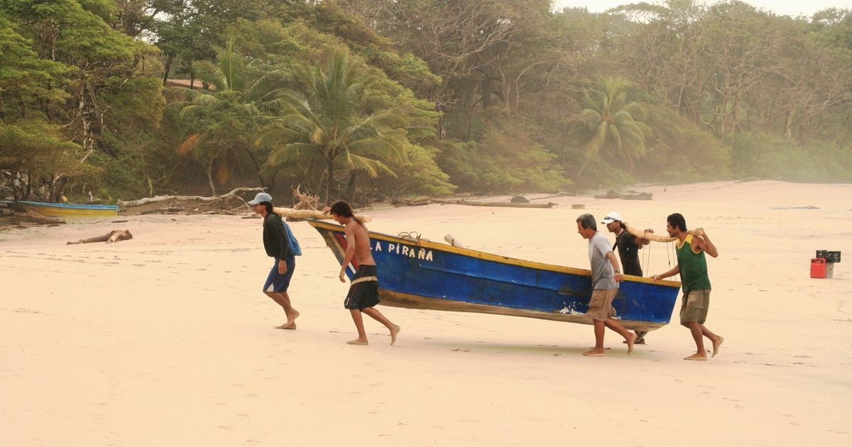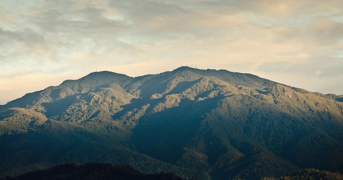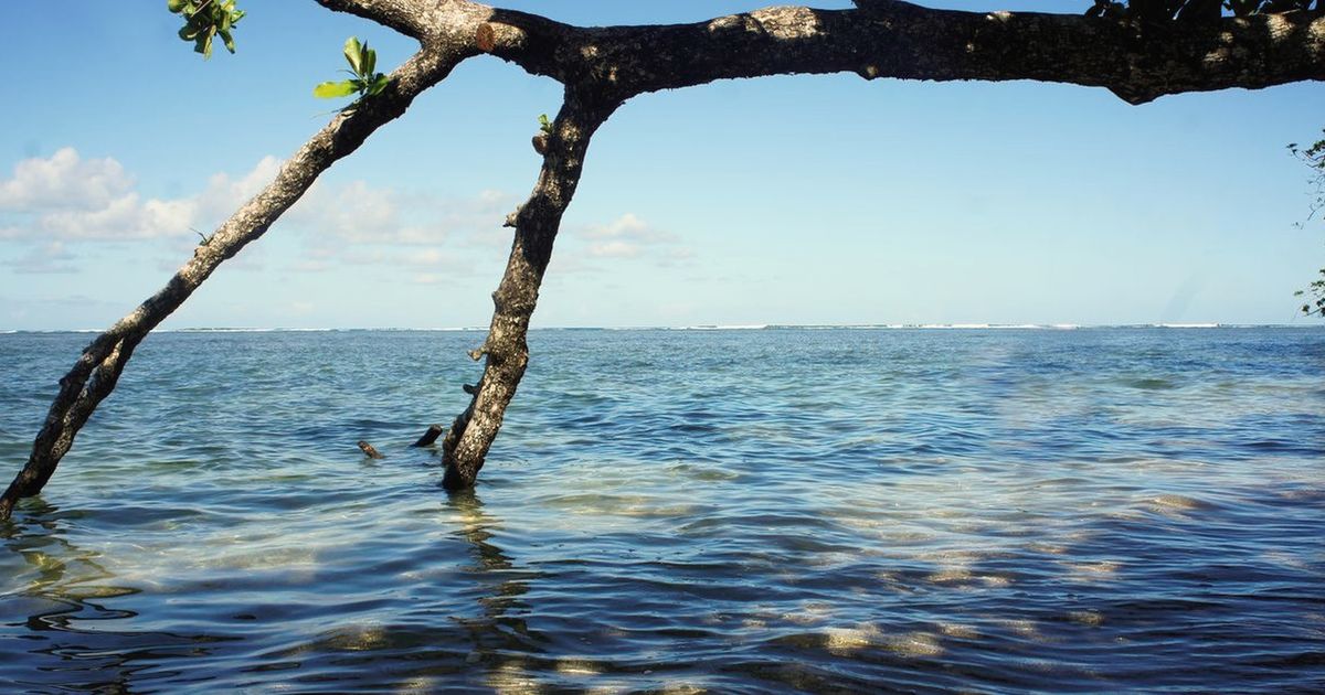
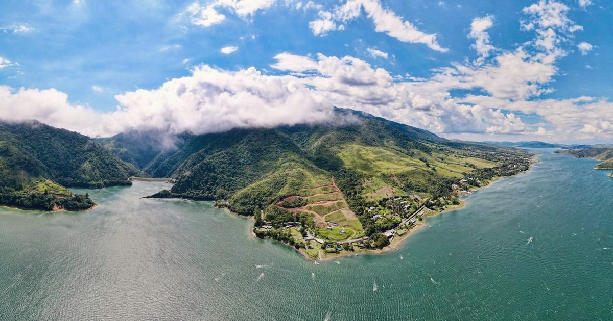
Four journeys through Central and South America — cloud forest ridgelines, dry-forest tracks between headlands, an ocean-to-ocean traverse, and slow island roads on the Caribbean side.
What makes them quiet
Quiet here is a matter of altitude and hour. Main highways carry the traffic; the secondary roads that thread the ridges, peninsulas and islands carry farm trucks and little else. Riding early — moving before the heat and finishing by mid-afternoon — turns busy sections into empty ones.
Getting there and staying
Each route starts within a few hours of an international airport, and bikes travel on regional buses and small ferries where distances are long. Rooms are simple and easy to find without booking far ahead, outside local holiday weeks.
GPX files, offline maps, the elevation profile, day-by-day notes and the planning tools for Pacific Coast Descent all live on BicycleMovement. We keep only the season and the reason.
December to March and July to August are the drier windows on the Pacific side. August is the one we ride: mornings clear above the cloud line and afternoon rain arrives late and softly rather than as a storm.
December to April is the classic dry season, but the veranillo — the little dry spell in July and August — is the quieter choice: the hills are still green, the tracks are firm and the coast is warm without the high-season crowds.
The Caribbean side of Panama runs on its own calendar. Its calmest, driest weeks fall in August to October, when the rest of the country is in the green season — which is exactly why the islands ride so well then.